
Program 2025 will be released December 1st!


Program 2024
1. Saturday July 13
AREA
Hästveda Sågbacken. Large forest with trails, hills, mud holes and free driving area. The trail ’Stölleprovet’ is the local favorite, as well as ‘Järnvägsspåret’.But think twice before venturing out in ‘Sams swamp’. Offroad map including the trails and some of the areas/challenges names included, is avaliable on their website and in print at the drivers meeting.
Free driving is allowed, but there are also more then enough trails to follow in soft, medium and hard classification.
LOCAL RULES AND REQUIREMENTS
- No ATV
- UTV allowed
- Fire/BBQ not allowed in the forest
- RC crawler models are welcome.
SERVICE
- Camping allowed
- Access to water
- Water hose to rinse car windows
- Electricity and air compressor
- WC and shower in the cloubhouse
- Heart defibrillator avaliable
- Food service on site: Goulash soup with Greek yogurt, crackers and cheese, drink included. Price SEK 100.
PARTNER
Hästveda Folkrace Club
Website: hfrc.se
NAVIGATION
Hästveda Sågbacken, 12 km north east of Hässleholm. 500 m south east of Hästveda, by east entrance from road 23 to Hästveda.
Coordinates: 56°16’34.9″N 13°56’22.2″E
COMMERCIAL CAMPING
Commercial camping: Luhrsjöbadens Camping, by lake Luhrsjön, 3 km south west of Hästveda, +46 (0)451-304 15. Hotel: Vita Hästen, +46 (0)725573495, www.vita-hasten.com
2. Sunday July 14
AREA
Hässleholm Mölleröd. Former military terrain. The offroad area is set in a beautiful leaf tree terrain! You’ll find both mud, rocky paths and kind forest trails. It’s generally a quite flat area, with no hights or slops. The charm lays in the challenges provided navigating the old military trails.
After lunch there is a optional greenlaning along small asphalt/gravel/forest roads and trails until 4 PM. For greenlaning the cars must be road legal and kan drive 70 km/h. During 2021-2022 SOT Mölleröd-Hässleholm did not have offroad, but instead offered 100 km greenlaning.
LOCAL RULES & REQUIREMENTS
- No free driving
- Trails for beginners and experienced drivers
- No ATV
- UTV allowed
- Max weight 3,5 ton
SERVICE
- Camping allowed on site
- Food service on site
- Possible to fill water bottles, 300 m from camp
- Outhose avaliable, 800 m from camp
PARTNER
Website: hlmk.com
Facebook: facebook.com/hlmk.offroad
NAVIGATION
West departure from main road to Hässleholm.
COMMERCIAL CAMPING
Commercial camping: Luhrsjöbadens Camping, by lake Luhrsjön, 3 km south west of Hästveda, by road 23, 12 km north north east Hässleholm,+46 (0)451-304 15. Hotel: Vita Hästen, +46 (0)725573495, www.vita-hasten.com.


3. Monday July 15
AREA
Kristianstad Vånga gravel pit.
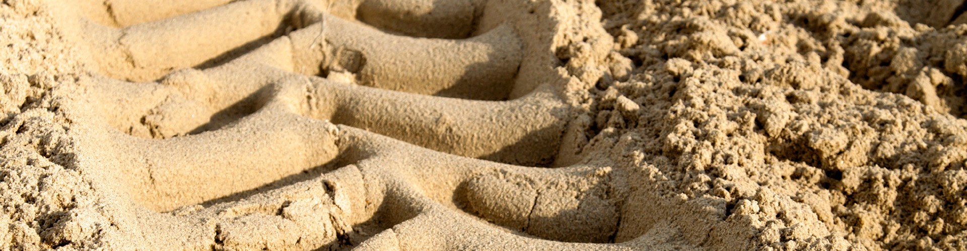
The sand offers one of the kindes terrains for the veichles as you do not have to worry about getting stuck on shart rocks or trees tumps, and is therefore reccomended for beginners. But make no illution, dry sand is a challenge to drive in, different from the forest trails that makes up the most of Swedish offroad.
The area offers a lot of sand slopes, there are both short and long as well as not to steep, steep and really steep. Itwill be a day to remember if you are not already comfortable with hights and tilt. It’s an absolute paradise and a must for an ATV/UTV driver.
LOCAL RULES AND REQUIREMENTS
- ATV/UTV allowed
- No free driving
- Be carefull not going outside the trails and damaging tree seedlings
SERVICE
There will be possible to get lunch on site, the BBQ is ready around 12 and will serve ahmburger/sausages.
- Camping allowed on site
- No running water
- No WC/outhouse
- Lunch on site
NAVIGATION
5 km north of Vånga, at the northern tip of Ivösjön (lake Ivö), 30 km north east of Kristianstad, SOT signs from Vånga.
Coordinates: 56°11’55.1″N 14°22’41.3″E
COMMERCIAL CAMPING
Söndremarks Camping, on island Ivö, +46 (0)44-520 94, free car ferry.
4. Tuesday July 16
AREA
Osby Offraodbanan is used all year around for events with Jeep Grand Cherokees with special trails built for the absolute beginners. Theese tracks, which are the closest to the camp, is not to be used during SOT.
The rest of the area is compared to the event area quite tough terrain set in a mixed leaf and pine forrest, and clearcuttings. The trails found here would be classified as medium, including both rocks and treacherous tree stumps. Most of the area includes hills, and in some sections quite steep climbes. You will also find mud, with a couple of pits just next to the gravel road making a nice lookout spot for audiens.
Multiple time a year a local club hosts trail training/competitions, which will tell you that there is a lot to take advantage of in the free driving in this area.
- Free driving allowed
- Medium to hard trails, unmarked
LOCAL RULES REQUIREMENTS
- ATV allowed, use low gear
- UTV allowed, use low gear
- Free driving allowed
- No driving allowed on the public gravel road separating the offroad area in a east and a west section. If a veichle needs to use the road you need pre-approval from Jonas +46 (0)705 337 200.
- Max weight 3.5 ton
- Both fire extinguisher & water can carried on the veichle
- Camping allowed on Ofroadbanans land, not on the parking space as before. All veichles and trailers to be moved to the parking space in the morning.
SERVICE
- Camping allowed on site (not on the parking space)
- WC avaliable during the offroad day
- Running water avaliable during the offroad day
- Food service on site
- Less then 10 min by car to lake/bathing place
PARTNER
Website: offroadbanan.se
Facebook: Offroadbanan
NAVIGATION
Offroadbanan (The Offroad Track), 6 km north west of Osby, just south west of Vanstad, signs from Jonstorpsvägen (Jonstorps road). Offroadbanan.se is a registerd name, most navigation tools would recogize this and take you directly there, or use the coordinated below:
COMMERCIAL CAMPING
Commercial camping: Luhrsjöbadens Camping, by lake Luhrsjön, 3 km south west of Hästveda, by road 23, 12 km north north east Hässleholm,+46 (0)451-304 15. Hotel: Vita Hästen, +46 (0)725573495, www.vita-hasten.com


5. Wednesday July 17
AREA
Växjö. Offroad: Bergunda, former military area of high quality. Designated trails in a mature woody setting. As part of Småland a lot of stones and rocks to climb and navigate are expected. A good mix of dry trails with good climbing challenges and if it’s not to long time since the last rain there are some really tricky stone trench trails.
Most iconic local trail are the steep rocks in the power line. First a shorter one and a half car lenght really steep smooth rock, connecting to an longer unevenly shaped rock that promisse both tilt and flex.
SERVICE
Trailers and visitors parks at the old club house (about 1 km north), only offroad vehicle and campers allowed on the new parking area.
- Camp allowed on site
- No ATV/UTV.
- Food service on site
- Outhouse avaliable
- No running water
- 6 km to closest gas station
PARTNER
Facebook: Wäxjö MS Offroad
NAVIGATION
Coordinates: 56.840224, 14.756028
COMMERCIAL CAMPING
Evedals Camping Växjö, 6 km north of Växjö by lake Helgasjön. +46 (0)470-63034.
6. Thursday July 18
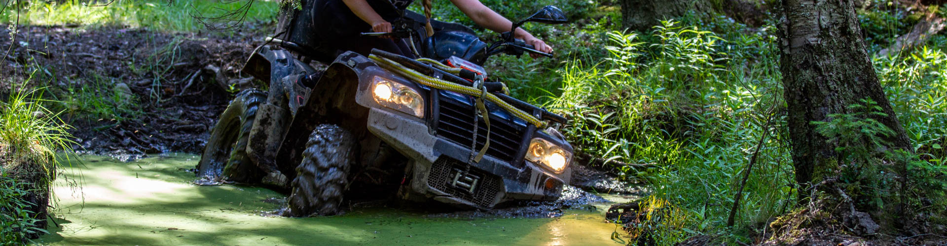
AREA
Mixed terrain set in both pine and leaf woods. In the central area there are mostly open views which allows nice lookout spot from the kiosk and barbeque area. Down the hill next to the kiosk we find great water tracks, and a bit furhter away there are more challenging swamps grounds. Along the boarders in the older pine woods you’ll aslo find the rocky wood trails with steeps and twists.
- Marked trails both for easy and hard terrian
- Free driving allowed in the whole area
LOCAL REQUIREMENTS & RULES
- Both fire extinguisher & water can
- Seats and seat belts to be used for all people in the veichle
- ATV/UTV allowed
- No weight limit
PARTNER
SERVICE
- Camping allowed on site
- Outhouse avaliable on the camping area
- No running water
- Kiosk and lunch on site
- Barbeque can be used next to the kiosk
NAVIGATION
Värnamo. Offroad: Ulås, by road 27, about 3 km southeast of Värnamo E4/road 27 crossing, turn off at Ulås and follow SOT signs a couple of km. Or follow the coordinates below.
COMMERCIAL CAMPING
Värnamo Camping, by lake Prostsjön, in central Värnamo, +46 (0) 370 166 60


7. Friday July 19
AREA
Oskarshamn. Huge offroad area – 27 hectars = 27 football fields – with free driving everywhere. Expect both a lot of bare rock (not high) to climb, steep, with tilt and of different levels of challenging. Inbetween the stones there are muddy areas, some simpler trails and some to treat with caution.
LOCAL RULES & REQUIREMENTS
Bring a fire extinguisher with you in the car/ATV.
SERVICES
When driving the club uses a app where you are able to see your location and the area perimiters and which direction will take you back to the starting point.
- Camp allowed on site
- Cafeteria open, lunch meny (kroppkakor & raggmunk)
- No fire/BBQ allowed on site
PARTNER
website: solkustens-awd.se
NAVIGATION
Greppek, south of the city, by E22, departure E22 Oskarshamn S.
Coordinates: 57.244228, 16.439834
COMMERCIAL CAMPING
Gunnarsö Camping, by the sea, just south of the centre, 0491-882 00.
8. Saturday July 20
AREA
Söderköping Olerum. Sweden’s largest and most varied private offroad area; now even more endless forest trails, open fields, granite mountain, mud holes, technical course.
Optional Caravan driving after lunch, exact time to be shared in the drivers meting. The caravan is driving net to the offroad area, forest trails.
LOCAL RULES & REQUIREMENTS
- ATV/UTV allowed
- Veichles over 5 ton is allowed on part (‘the mountain’) of the area
- Driving allowed until 23:00
SERVICE
Free camping plus 10 places with electricity for 100 SEK/10 EURO per night. ”Dry” toilet and cold water available.
- Camping allowed on site
- Outhouse avaliable next to the club house
- Swimming in lake Skiren 3 km
- Food shop and petrol Östra Ryd 8 km.
- Possible to order food (place order when registring in the morning)
PARTNER
Website: olerumoffroaders.nu
Facebook: Olerum Offroad
NAVIGATION
Söderköping. Offroad: Olerum, 7 km south of Ö. Ryd, 15 km south west of Söderköping,
COMMERCIAL CAMPING
Skeppsdockans Camping, 1 km north of Söderköping, by E 22, +46 (0121-216 30.


9. Sunday July 21
AREA
Kumla Brändåsen. Forest trails, open fields, mud holes, mud race track, technical obstacles.
LOCAL RULES & REQUIREMENTS
- ATV allowed
- UTV allowed
SERVICE
- Camping allowed
- Food service on siste
- Outhouse avaliable
- No water
PARTNER
offroad-trailer.com
NAVIGATION
Kumla. Offroad: Brändåsen, departure 106 at crossing E20/road 50, south of Kumla/Örebro.
COMMERCIAL CAMPING
Djupadalsbadets Camping, east Kumla, +46 (0)19-58 86 83.
10. Monday July 22
Ludvika. Offroad: Björnhyttan, Forest trails. Requirement: fire-extinguisher.
Camping allowed on the offroad area, but note that the parking area is limited which can make it tricky to park caravans.
- Camp allowed on site
- ATV/UTV allowed
- Food service on site
PARTNER
Website: ludvikams.se
NAVIGATION
7 km west of Ludvika, follow signs to Gonäs, and then Gonäsvägen westward.
Coordinates: 60°08’14.7″N 15°01’14.7″E
COMMERCIAL CAMPING
Commercial camping: Räfsnäsgården, 5 km south east of Ludvika. +46 (0)70-380 92 66, (0)70-514 15 06, (0)240-148 15, www.rafsnasgarden.se

11. Tuesday July 23
Säter. Motor arena with free driving everywhere: forest trails, mud holes, swamp, moto cross tracks.
LOCAL RULES
- Camping allowed on site
- ATV/UTV allowed
SERVICES
- Fresh water
- WC & Shower
- Food service on site
PARTNER
Website: satersmk.se
NAVIGATION
Offroad: Aspnäsbanan motor track, 3 km west of Säter
COMMERCIAL CAMPING
Säters Camping, by lake Ljustern, south west Säter, +46 (0)225-509 45.
12. Wednesday July 24
AREA
Hedemora. SMK Hedemora, just northwest of Hedemora. Lots of trails in a huge gravel/sand pit, winding motocross track.
LOCAL RULES AND REQUIREMENTS
- Insurance required, 50 SEK per veichle (total 350 per veichle)
- No ATV or UTV (MC registered)
- All vehicles must have a protection cover under the car when parked in the pit.
- All vehicles must have an at least 2 kg fire extinguisher.
SERVICE
- Camp allowed on site
- Food service on site
PARTNER
Website: smkhedemora.com
NAVIGATION
North west from Hedemora. Road 70, exit Västerby. Follow road Sätervägen and turn towards road Tt:banan.
Coordinates: 60°18’26.1″N 15°56’35.5″E
COMMERCIAL CAMPING
Säters Camping, by lake Ljustern, south west Säter, +46 (0)225-509 45

13. Thursday July 25
AREA
Offroad area south of Hofors, plus ski slope north of Hofors. The day will begin at the ski slope and drive up to the top using gravel roads directly after the drivers meeting. From there you are free to drive up and down the hill. After lunch there is free driving at the clubs offroad area.
LOCAL RULES & RECUIREMENTS
- ATV/UTV allowed
SERVICE
- Possibilities to camp next to the ski slope
- No water, WC etc
PARTNER
Website: gestrikeoffroad.com
NAVIGATION
Ski slope 60°33’40.5″N 16°19’55.6″E
Hofors Böle Offroad site 60°31’37.9″N 16°18’57.1″E
COMMERCIAL CAMPING
14. Friday July 26
Rest day


15. Saturday July 27
AREA
LOCAL RULES & REQUIREMENTS
SERVICES
PARTNER
facebook:facebook.com/BMKoffroad
website: www.botkyrkamk.se
NAVIGATION
Stockholm. Offroad: Botkyrka.
Coordinates: 59°10’49.3″N 17°55’55.9″E
COMMERCIAL CAMPING
16. Sunday July 28
Strängnäs offroad trail is built along an 2 kilometres long open power line, the surounding forest trails, and unforgettable mudpits.
LOCAL RULES & REQUIREMENTS
- ATV/UTV allowed
- Free driving allowed
SERVICES
- Food service on site
- Not allowed to camp on site
- No running water
- No WC/outhouse
PARTNER
website: smac.nu
Offers offroad driving for beginners in their Wranglers, read more on their site.
NAVIGATION
Sandlycke, 10 km east of Strängnäs, by E20 departure 138 (Åkers Styckebruk).
Coordinates: 59°17’48.9″N 17°05’53.2″E
COMMERCIAL CAMPING
Löts Camping, by lake Mälaren, east of Strängnäs, +46 (0)152-252 37.
Let’s chat!
Need more information? Contact us, as per below details.
frida.ericsson@swedenoffroad.se
https://www.facebook.com/swedenoffroad